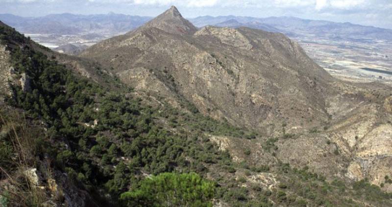
The mountains of Las Moreras are home to a Bronze Age settlement and varied flora and fauna The geographical feature which most immediately springs to mind in connection with the municipality of Mazarrón is its beaches, which range from huge swathes of sand to tiny secluded pebbly coves, but it is also home to the protected mountain area of the Sierra de las Moreras. These imposing mountains (click for map) are mostly covered in shrubs, grasses..
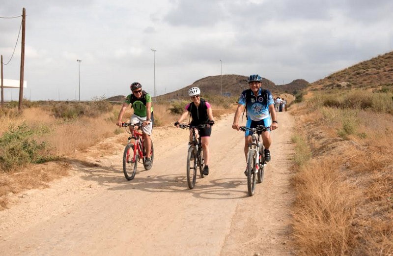
The 14-kilometre Vía Verde welcomes walkers and cyclists between Mazarrón and La Pinilla When it was decided in the early 20th century that a railway should be built linking Mazarrón to the intended line between Cartagena and Totana the engineers and construction workers involved could hardly have imagined that their project would eventually become a greenway for the use of walkers and cyclists, but that is exactly what has happened...
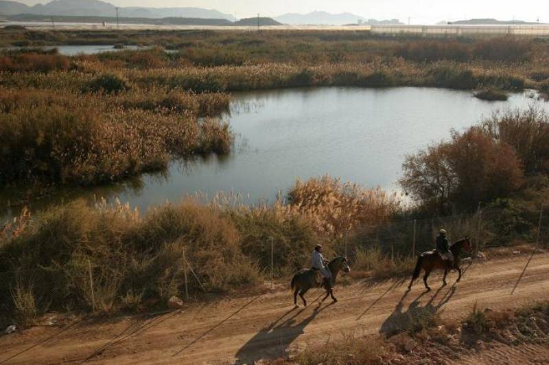
A protected nature reserve and Ramsar site between Mazarrón and Puerto de Mazarrón The landscape in and around Mazarrón is generally dry, but there is a pocket of 72 hectares of land near the coast between Puerto de Mazarrón and Bolnuevo which has been included in the Ramsar network of wetlands throughout the world. The wetlands of Las Moreras occupy the final stretch of the rambla (an irregular stream which fills with water only in times..
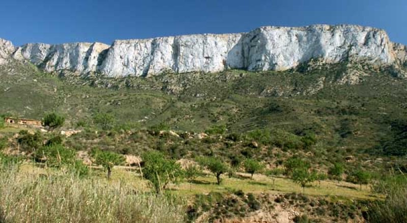
A 7km walk along the Rambla del Cañar, Tallante-Isla Plana, PR-15 Level: Easy The rambla, a floodwater channel which is usually dry, runs from the coast at Isla Plana through inland to the village of Tallante, and the route is classified as the PR-15. It features spectacular landscapes and beds of cañas, or bamboo reeds. What makes this walk so spectacular is that it runs along the foot of the majestic Lomas de las Carrascas, the..
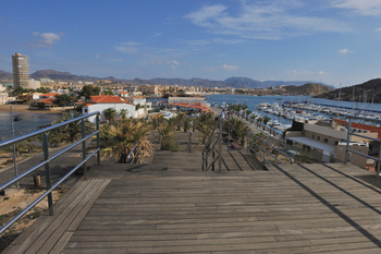
Cabezo de la Cebada viewing point and Club de Regatas Mazarrón The Cabezo de la Cebada is the headland between the Playa de Bahía beach and the Playa de la Ermita on the south-facing coastline of Mazarrón, and has been equipped with wooden decking to create walkways and seating areas, leading up to an attractive viewing point at the top. This decking continues along the front of the Playa de la Ermita. A quaint custom amongst local..
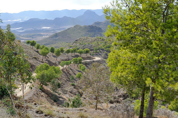
The Sierra de las Herrerías in Mazarrón is perfect for walking, cycling and picnics The Sierra de las Herrerías is a little-known oasis within the municipality of Mazarrón which offers interesting routes for both cyclists and walkers as well as being an attractive picnic spot with views out across the Gulf of Mazarrón and the surrounding countryside. Heading out of Mazarrón on the RM-D4, after passing through Leiva drivers see..
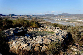
Cabezo del Plomo, a 5,000-year-old Chalcolithic settlement in Mazarrón Time scale 2980-3220 BC This archaeological site is located on a long, flat-topped hill, looking out over the flood channel known as Rambla de Las Moreras or Rambla de Susana. It is strategically located in an easily defendable position with views of the sea, and although not linked to the Sierra de las Moreras, is protected by the mountains. This is one of the most..
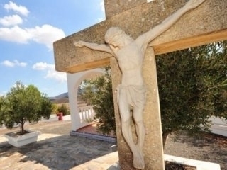
El Calvario de La Pinilla La Pinilla is a hamlet located midway between Las Palas and the main road between Mazarrón and Alhama de Murcia, and although nowadays it is a sleepy little village it has a surprisingly interesting history. One of the features of the village of La Pinilla, which is within the boundaries of the municipality of Fuente Álamo although it is closer to Mazarrón, is the walk along a charming "Vía Crucis"..